Ksar el Kebir sulla mappa
Ksar el Kebir (Tanger-Tétouan) , Marocco sulla mappa.
Coordinate GPS: 35° 0' 6.3" A nord,
5° 54' 19.2" Occidente.
» Fuso orario, » La mappa politica, » mappa naturale,
» Ksar el Kebir sulla mappa di notte & » Google Map.
 Tempo
TempoKsar el Kebir sulla Mappa del fuso orario:
Fuso orario: GMT+01:00 = +01 (±1 DST)


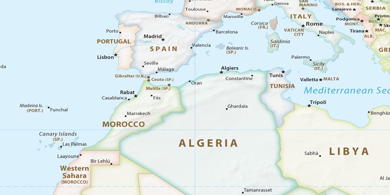
Marocco, Ksar el Kebir La mappa politica

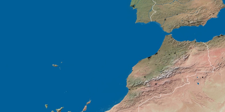
mappa naturale
Latitudine Longitudine: 35.00174, -5.90534

Ksar el Kebir
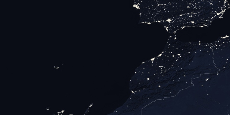
Ksar el Kebir sulla mappa di notte