Ceres sulla mappa
Ceres (Western Cape) , Sudafrica sulla mappa.
Coordinate GPS: 33° 22' 8" Sud,
19° 18' 39.4" Oriente.
» Fuso orario, » La mappa politica, » mappa naturale,
» Ceres sulla mappa di notte & » Google Map.
 Tempo
TempoCeres sulla Mappa del fuso orario:
Fuso orario: GMT+02:00 = SAST


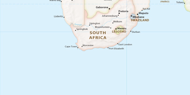
Sudafrica, Ceres La mappa politica

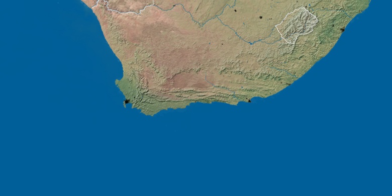
mappa naturale
Latitudine Longitudine: -33.36889, 19.31095

Ceres
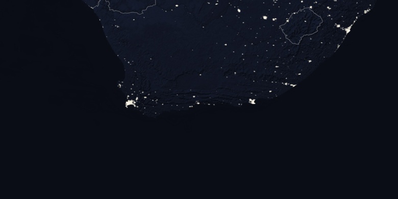
Ceres sulla mappa di notte