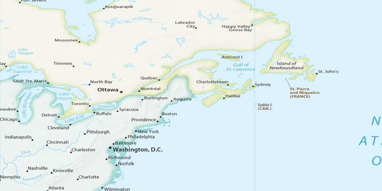
Staten Island sulla mappa
Staten Island (New York) , Stati Uniti d'America sulla mappa.
Coordinate GPS: 40° 33' 44.4" A nord,
74° 8' 23.5" Occidente.
» Fuso orario, » La mappa politica, » mappa naturale,
» Staten Island sulla mappa di notte & » Google Map.
 Tempo
TempoStaten Island sulla Mappa del fuso orario:
Fuso orario: GMT-04:00 = EDT (±1 DST)


Stati Uniti d'America, Staten Island La mappa politica

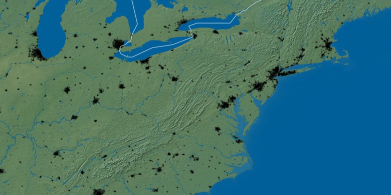
mappa naturale
Latitudine Longitudine: 40.56233, -74.13986

Staten Island
Staten Island sulla mappa di notte