Rochester Hills sulla mappa
Rochester Hills (Michigan) , Stati Uniti d'America sulla mappa.
Coordinate GPS: 42° 39' 30.1" A nord,
83° 8' 59.7" Occidente.
» Fuso orario, » La mappa politica, » mappa naturale,
» Rochester Hills sulla mappa di notte & » Google Map.
 Tempo
TempoRochester Hills sulla Mappa del fuso orario:
Fuso orario: GMT-04:00 = EDT (±1 DST)


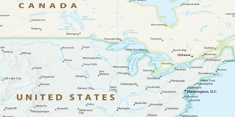
Stati Uniti d'America, Rochester Hills La mappa politica

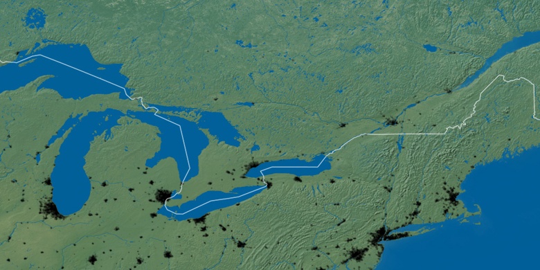
mappa naturale
Latitudine Longitudine: 42.65837, -83.14993

Rochester Hills
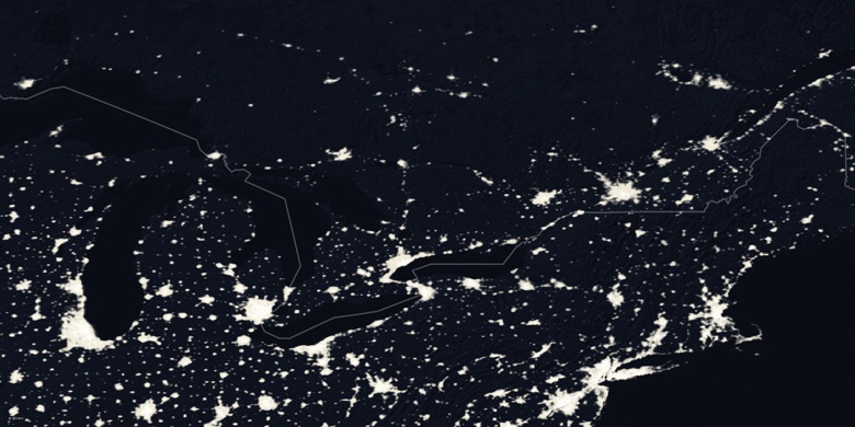
Rochester Hills sulla mappa di notte