Port Townsend sulla mappa
Port Townsend (Washington) , Stati Uniti d'America sulla mappa.
Coordinate GPS: 48° 7' 1.3" A nord,
122° 45' 37.6" Occidente.
» Fuso orario, » La mappa politica, » mappa naturale,
» Port Townsend sulla mappa di notte & » Google Map.
 Tempo
TempoPort Townsend sulla Mappa del fuso orario:
Fuso orario: GMT-07:00 = PDT (±1 DST)


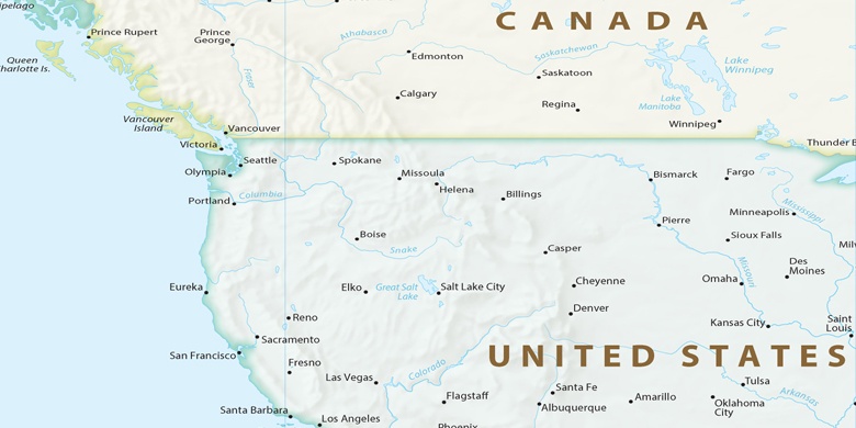
Stati Uniti d'America, Port Townsend La mappa politica

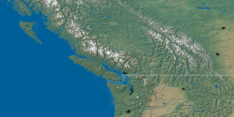
mappa naturale
Latitudine Longitudine: 48.11704, -122.76045

Port Townsend
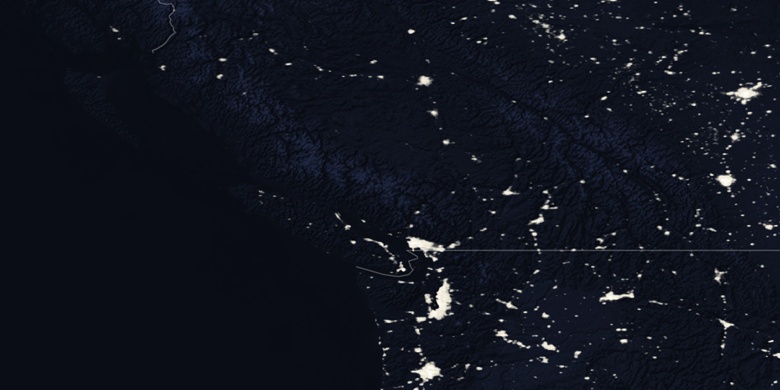
Port Townsend sulla mappa di notte