Ironwood sulla mappa
Ironwood (Michigan) , Stati Uniti d'America sulla mappa.
Coordinate GPS: 46° 27' 16.8" A nord,
90° 10' 15.6" Occidente.
» Fuso orario, » La mappa politica, » mappa naturale,
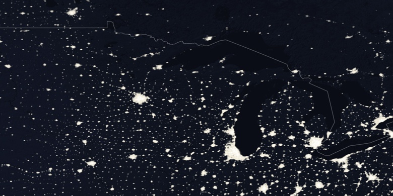
» Ironwood sulla mappa di notte & » Google Map.
 Tempo
TempoIronwood sulla Mappa del fuso orario:
Fuso orario: GMT-05:00 = CDT (±1 DST)


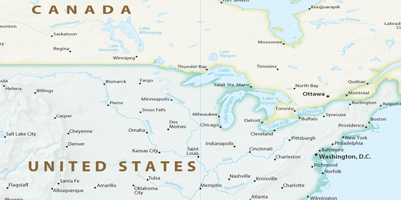
Stati Uniti d'America, Ironwood La mappa politica

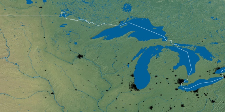
mappa naturale
Latitudine Longitudine: 46.45467, -90.17101

Ironwood
Ironwood sulla mappa di notte