Fuller Heights sulla mappa
Fuller Heights (Florida) , Stati Uniti d'America sulla mappa.
Coordinate GPS: 27° 54' 33.1" A nord,
81° 59' 53.3" Occidente.
» Fuso orario, » La mappa politica, » mappa naturale,
» Fuller Heights sulla mappa di notte & » Google Map.
 Tempo
TempoFuller Heights sulla Mappa del fuso orario:
Fuso orario: GMT-04:00 = EDT (±1 DST)


Stati Uniti d'America, Fuller Heights La mappa politica


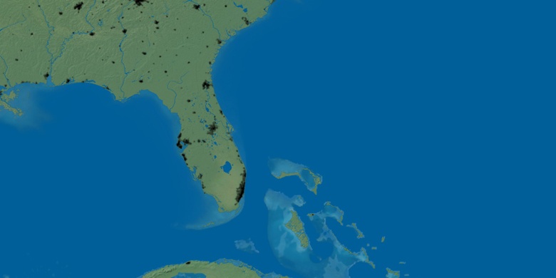
mappa naturale
Latitudine Longitudine: 27.90919, -81.99814

Fuller Heights
Fuller Heights sulla mappa di notte