Cottonwood Heights sulla mappa
Cottonwood Heights (Utah) , Stati Uniti d'America sulla mappa.
Coordinate GPS: 40° 37' 10.8" A nord,
111° 48' 36.8" Occidente.
» Fuso orario, » La mappa politica, » mappa naturale,
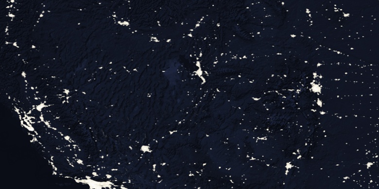
» Cottonwood Heights sulla mappa di notte & » Google Map.
 Tempo
TempoCottonwood Heights sulla Mappa del fuso orario:
Fuso orario: GMT-06:00 = MDT (±1 DST)


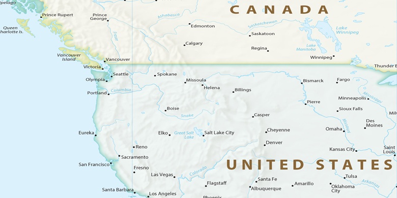
Stati Uniti d'America, Cottonwood Heights La mappa politica

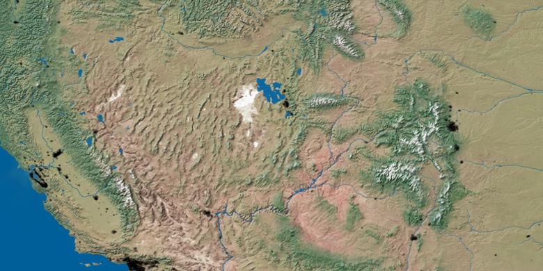
mappa naturale
Latitudine Longitudine: 40.61967, -111.81021

Cottonwood Heights
Cottonwood Heights sulla mappa di notte