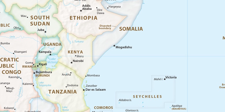
Port Glaud sulla mappa
Port Glaud, Seychelles sulla mappa.
Coordinate GPS: 4° 40' 0" Sud,
55° 25' 0" Oriente.
» Fuso orario, » La mappa politica, » mappa naturale,
» Port Glaud sulla mappa di notte & » Google Map.
 Tempo
TempoPort Glaud sulla Mappa del fuso orario:
Fuso orario: GMT+04:00 = +04


Seychelles, Port Glaud La mappa politica

mappa naturale
Latitudine Longitudine: -4.66667, 55.41667

Port Glaud
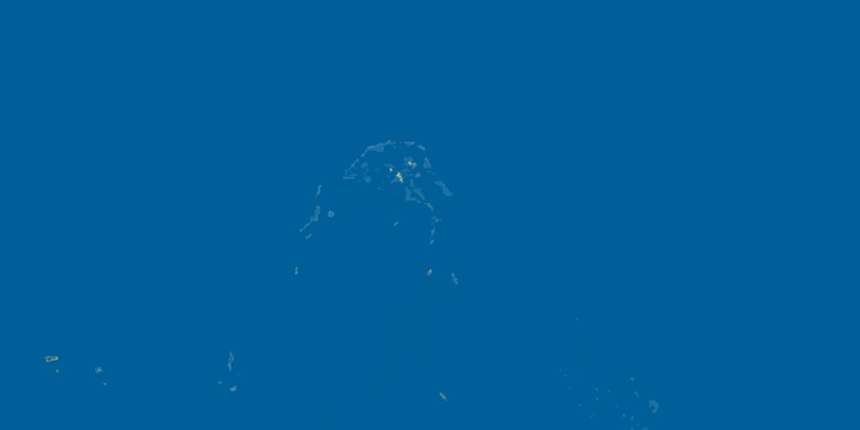
Port Glaud sulla mappa di notte