Komendantsky aerodrom sulla mappa
Komendantsky aerodrom (St.-Petersburg
) , Russia sulla mappa.
Coordinate GPS: 60° 0' 16.1" A nord,
30° 16' 30.8" Oriente.
» Fuso orario, » La mappa politica, » mappa naturale,
» Komendantsky aerodrom sulla mappa di notte & » Google Map.
 Tempo
TempoKomendantsky aerodrom sulla Mappa del fuso orario:
Fuso orario: GMT+03:00 = MSK


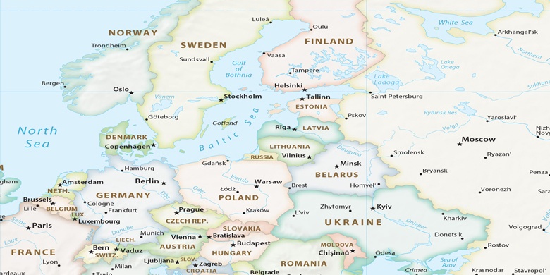
Russia, Komendantsky aerodrom La mappa politica

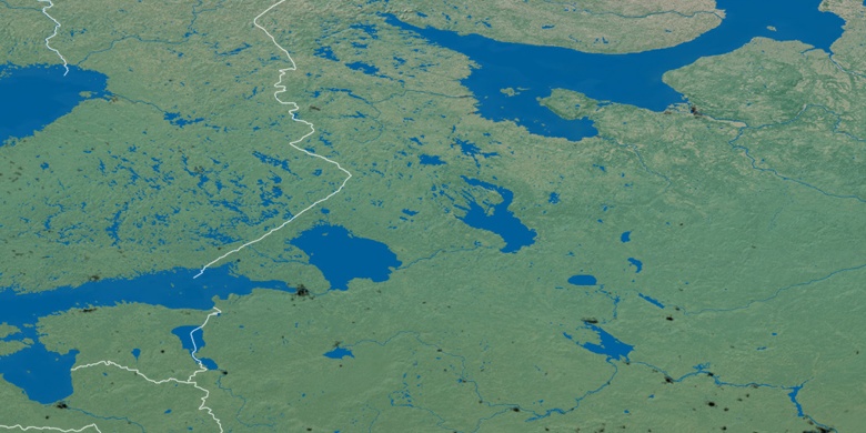
mappa naturale
Latitudine Longitudine: 60.00448, 30.27523

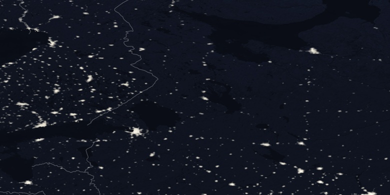
Komendantsky aerodrom
Komendantsky aerodrom sulla mappa di notte