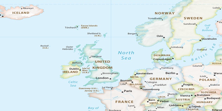
Oswestry sulla mappa
Oswestry (England) , Regno Unito sulla mappa.
Coordinate GPS: 52° 51' 43" A nord,
3° 3' 17.9" Occidente.
» Fuso orario, » La mappa politica, » mappa naturale,
» Oswestry sulla mappa di notte & » Google Map.
 Tempo
TempoOswestry sulla Mappa del fuso orario:
Fuso orario: GMT+01:00 = BST (±1 DST)


Regno Unito, Oswestry La mappa politica

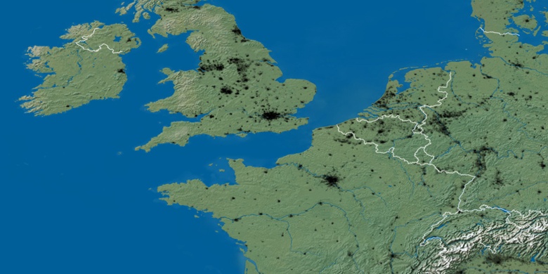
mappa naturale
Latitudine Longitudine: 52.86195, -3.05497

Oswestry
Oswestry sulla mappa di notte