San Vicente Tancuayalab sulla mappa
San Vicente Tancuayalab (Veracruz) , Messico sulla mappa.
Coordinate GPS: 21° 43' 7.9" A nord,
98° 35' 15.7" Occidente.
» Fuso orario, » La mappa politica, » mappa naturale,
» San Vicente Tancuayalab sulla mappa di notte & » Google Map.
 Tempo
TempoSan Vicente Tancuayalab sulla Mappa del fuso orario:
Fuso orario: GMT-06:00 = CST


Messico, San Vicente Tancuayalab La mappa politica


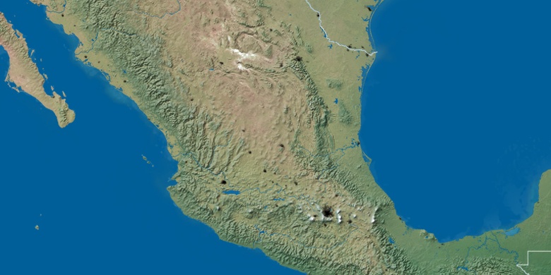
mappa naturale
Latitudine Longitudine: 21.71886, -98.58769

San Vicente Tancuayalab
San Vicente Tancuayalab sulla mappa di notte