Tash-Kumyr sulla mappa
Tash-Kumyr (Jalal-Abad
) , Kirghizistan sulla mappa.
Coordinate GPS: 41° 20' 46" A nord,
72° 13' 1.5" Oriente.
» Fuso orario, » La mappa politica, » mappa naturale,
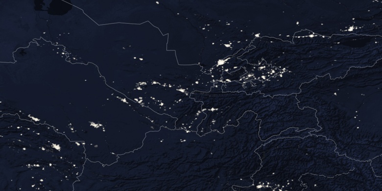
» Tash-Kumyr sulla mappa di notte & » Google Map.
 Tempo
TempoTash-Kumyr sulla Mappa del fuso orario:
Fuso orario: GMT+06:00 = +06


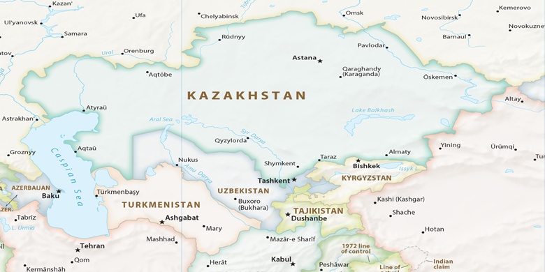
Kirghizistan, Tash-Kumyr La mappa politica

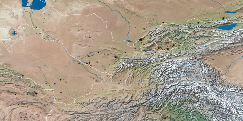
mappa naturale
Latitudine Longitudine: 41.34612, 72.21707

Tash-Kumyr
Tash-Kumyr sulla mappa di notte