The Bottom sulla mappa
The Bottom (Saba) , Isole BES sulla mappa.
Coordinate GPS: 17° 37' 33.2" A nord,
63° 14' 57.1" Occidente.
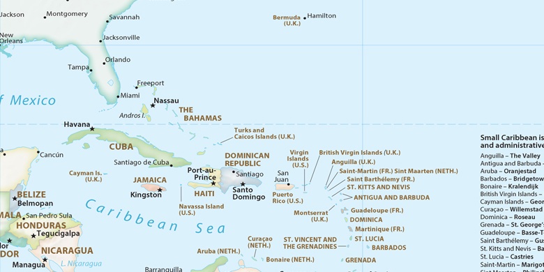
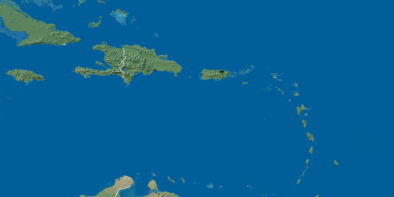
» Fuso orario, » La mappa politica, » mappa naturale,
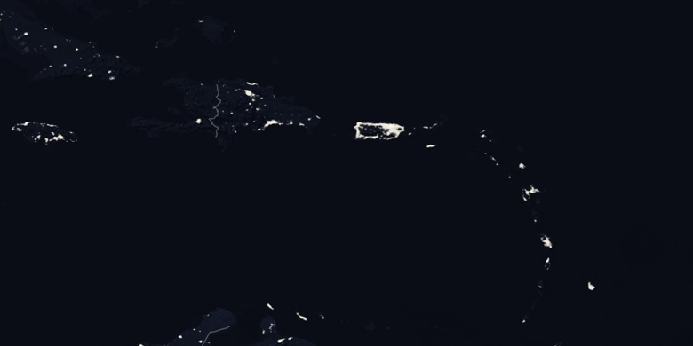
» The Bottom sulla mappa di notte & » Google Map.
 Tempo
TempoThe Bottom sulla Mappa del fuso orario:
Fuso orario: GMT-04:00 = AST


Isole BES, The Bottom La mappa politica

mappa naturale
Latitudine Longitudine: 17.6259, -63.24919

The Bottom
The Bottom sulla mappa di notte