Shāhābād sulla mappa
Shāhābād (Uttar Pradesh) , India sulla mappa.
Coordinate GPS: 27° 38' 35.8" A nord,
79° 56' 20.7" Oriente.
» Fuso orario, » La mappa politica, » mappa naturale,
» Shāhābād sulla mappa di notte & » Google Map.
 Tempo
TempoShāhābād sulla Mappa del fuso orario:
Fuso orario: GMT+05:30 = IST


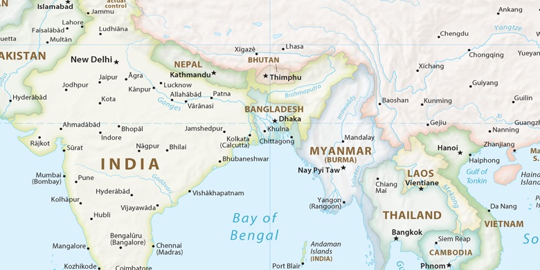
India, Shāhābād La mappa politica

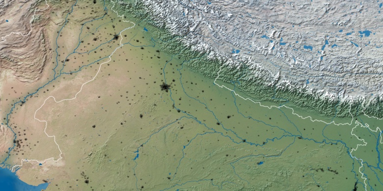
mappa naturale
Latitudine Longitudine: 27.64327, 79.93908

Shāhābād
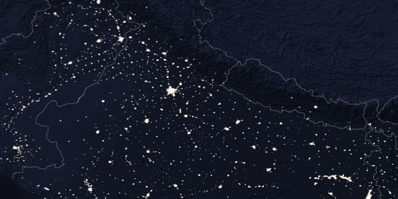
Shāhābād sulla mappa di notte