Kottaiyūr sulla mappa
Kottaiyūr (Tamil Nadu) , India sulla mappa.
Coordinate GPS: 10° 6' 36.3" A nord,
78° 47' 44" Oriente.
» Fuso orario, » La mappa politica, » mappa naturale,
» Kottaiyūr sulla mappa di notte & » Google Map.
 Tempo
TempoKottaiyūr sulla Mappa del fuso orario:
Fuso orario: GMT+05:30 = IST


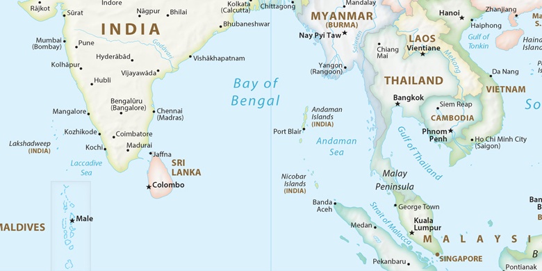
India, Kottaiyūr La mappa politica

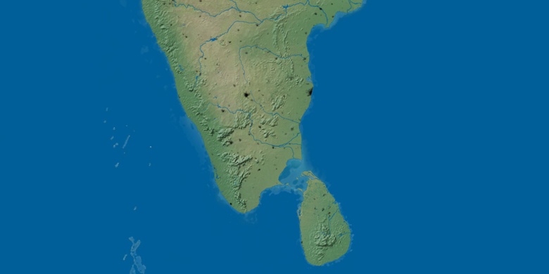
mappa naturale
Latitudine Longitudine: 10.11007, 78.79555

Kottaiyūr
Kottaiyūr sulla mappa di notte