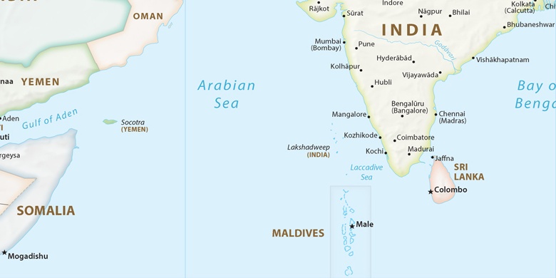
Hungund sulla mappa
Hungund (Karnataka) , India sulla mappa.
Coordinate GPS: 16° 3' 44.1" A nord,
76° 3' 30.2" Oriente.
» Fuso orario, » La mappa politica, » mappa naturale,
» Hungund sulla mappa di notte & » Google Map.
 Tempo
TempoHungund sulla Mappa del fuso orario:
Fuso orario: GMT+05:30 = IST


India, Hungund La mappa politica

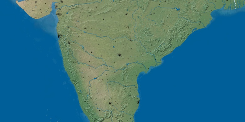
mappa naturale
Latitudine Longitudine: 16.06226, 76.05839

Hungund
Hungund sulla mappa di notte