San Andrés Villa Seca sulla mappa
San Andrés Villa Seca (Retalhuleu) , Guatemala sulla mappa.
Coordinate GPS: 14° 34' 0" A nord,
91° 34' 60" Occidente.
» Fuso orario, » La mappa politica, » mappa naturale,
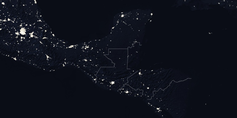
» San Andrés Villa Seca sulla mappa di notte & » Google Map.
 Tempo
TempoSan Andrés Villa Seca sulla Mappa del fuso orario:
Fuso orario: GMT-06:00 = CST


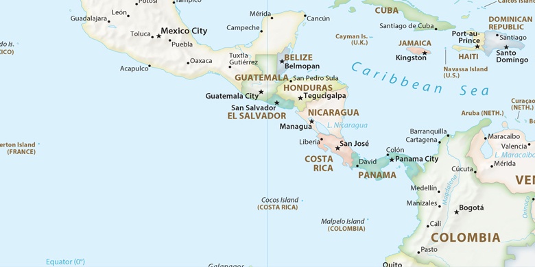
Guatemala, San Andrés Villa Seca La mappa politica

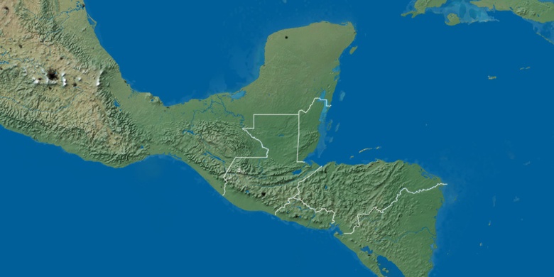
mappa naturale
Latitudine Longitudine: 14.56667, -91.58333

San Andrés Villa Seca
San Andrés Villa Seca sulla mappa di notte