Lauf an der Pegnitz sulla mappa
Lauf an der Pegnitz (Bavaria) , Germania sulla mappa.
Coordinate GPS: 49° 30' 49.9" A nord,
11° 16' 56.9" Oriente.
» Fuso orario, » La mappa politica, » mappa naturale,
» Lauf an der Pegnitz sulla mappa di notte & » Google Map.
 Tempo
TempoLauf an der Pegnitz sulla Mappa del fuso orario:
Fuso orario: GMT+02:00 = CEST (±1 DST)


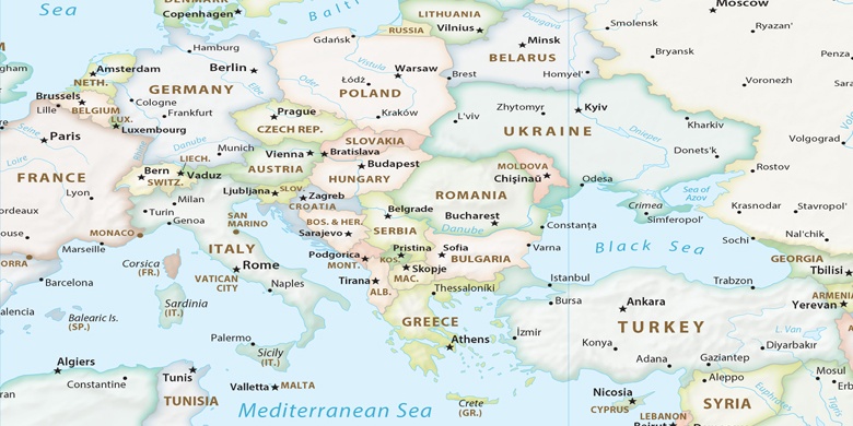
Germania, Lauf an der Pegnitz La mappa politica

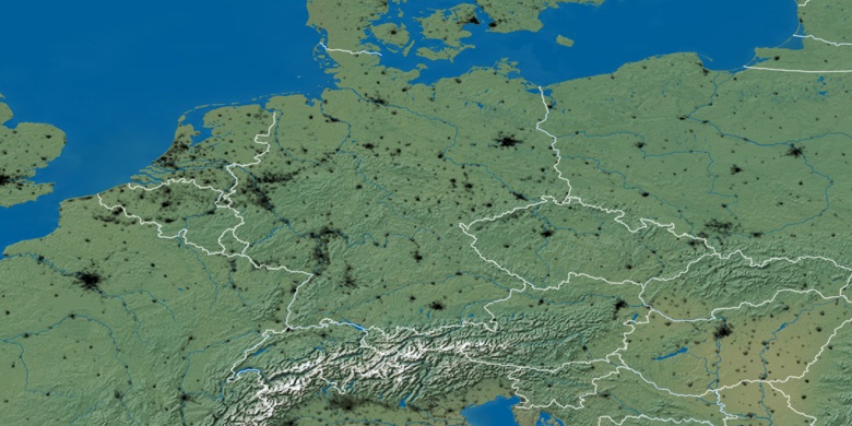
mappa naturale
Latitudine Longitudine: 49.51386, 11.28247

Lauf an der Pegnitz
Lauf an der Pegnitz sulla mappa di notte