Romorantin-Lanthenay sulla mappa
Romorantin-Lanthenay (Centre) , Francia sulla mappa.
Coordinate GPS: 47° 22' 0" A nord,
1° 45' 0" Oriente.
» Fuso orario, » La mappa politica, » mappa naturale,
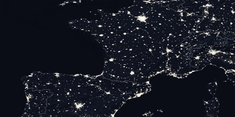
» Romorantin-Lanthenay sulla mappa di notte & » Google Map.
 Tempo
TempoRomorantin-Lanthenay sulla Mappa del fuso orario:
Fuso orario: GMT+02:00 = CEST (±1 DST)


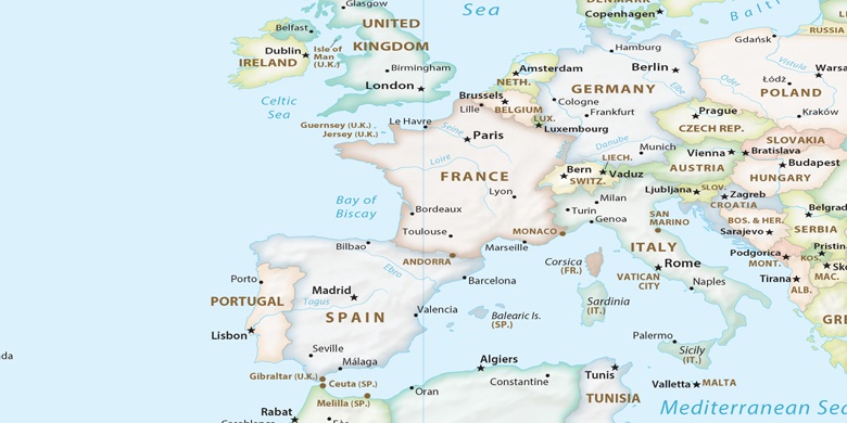
Francia, Romorantin-Lanthenay La mappa politica

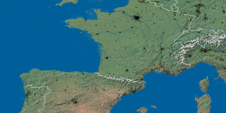
mappa naturale
Latitudine Longitudine: 47.36667, 1.75

Romorantin-Lanthenay
Romorantin-Lanthenay sulla mappa di notte