Ille-sur-Têt sulla mappa
Ille-sur-Têt (Languedoc-Roussillon) , Francia sulla mappa.
Coordinate GPS: 42° 40' 14.5" A nord,
2° 37' 17.8" Oriente.
» Fuso orario, » La mappa politica, » mappa naturale,
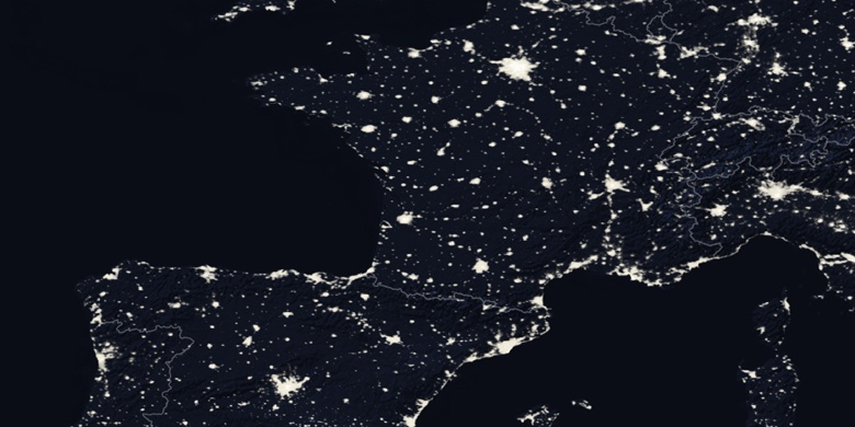
» Ille-sur-Têt sulla mappa di notte & » Google Map.
 Tempo
TempoIlle-sur-Têt sulla Mappa del fuso orario:
Fuso orario: GMT+02:00 = CEST (±1 DST)


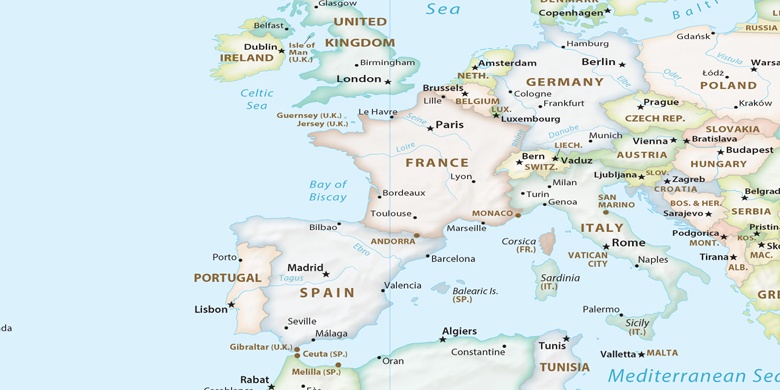
Francia, Ille-sur-Têt La mappa politica

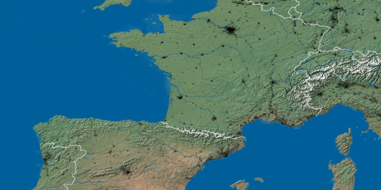
mappa naturale
Latitudine Longitudine: 42.67069, 2.62162

Ille-sur-Têt
Ille-sur-Têt sulla mappa di notte