Charlottenlund sulla mappa
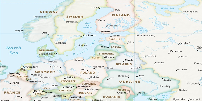
Charlottenlund (Capital Region) , Danimarca sulla mappa.
Coordinate GPS: 55° 45' 13.2" A nord,
12° 35' 30.5" Oriente.
» Fuso orario, » La mappa politica, » mappa naturale,
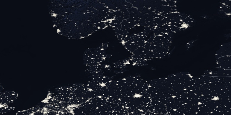
» Charlottenlund sulla mappa di notte & » Google Map.
 Tempo
TempoCharlottenlund sulla Mappa del fuso orario:
Fuso orario: GMT+02:00 = CEST (±1 DST)


Danimarca, Charlottenlund La mappa politica

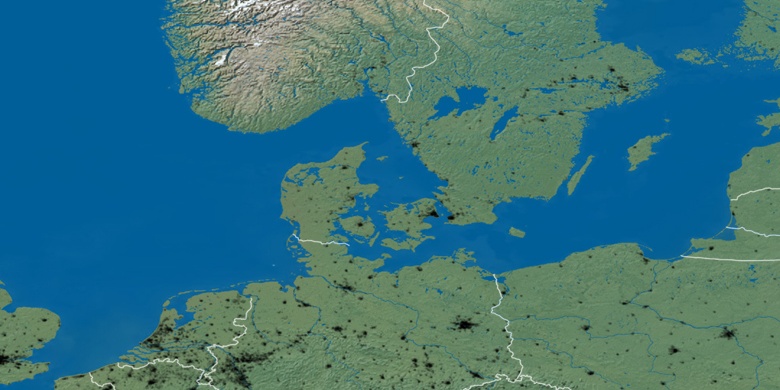
mappa naturale
Latitudine Longitudine: 55.75367, 12.59181

Charlottenlund
Charlottenlund sulla mappa di notte