Steyr sulla mappa
Steyr (Upper Austria) , Austria sulla mappa.
Coordinate GPS: 48° 2' 33.9" A nord,
14° 25' 16.6" Oriente.
» Fuso orario, » La mappa politica, » mappa naturale,
» Steyr sulla mappa di notte & » Google Map.
 Tempo
TempoSteyr sulla Mappa del fuso orario:
Fuso orario: GMT+02:00 = CEST (±1 DST)


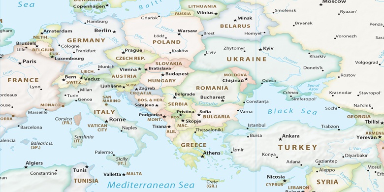
Austria, Steyr La mappa politica

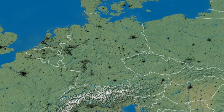
mappa naturale
Latitudine Longitudine: 48.04274, 14.42127

Steyr
Steyr sulla mappa di notte