Brighton-Le-Sands sulla mappa
Brighton-Le-Sands (New South Wales) , Australia sulla mappa.
Coordinate GPS: 33° 57' 54.7" Sud,
151° 9' 4.3" Oriente.
» Fuso orario, » La mappa politica, » mappa naturale,
» Brighton-Le-Sands sulla mappa di notte & » Google Map.
 Tempo
TempoBrighton-Le-Sands sulla Mappa del fuso orario:
Fuso orario: GMT+10:00 = AEST


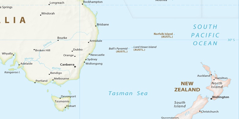
Australia, Brighton-Le-Sands La mappa politica

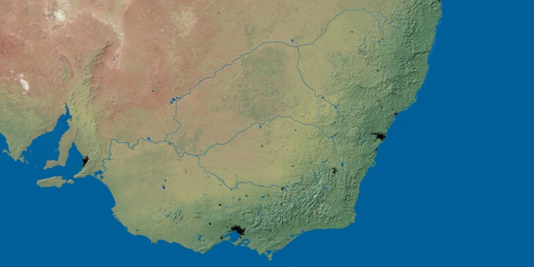
mappa naturale
Latitudine Longitudine: -33.9652, 151.1512

Brighton-Le-Sands
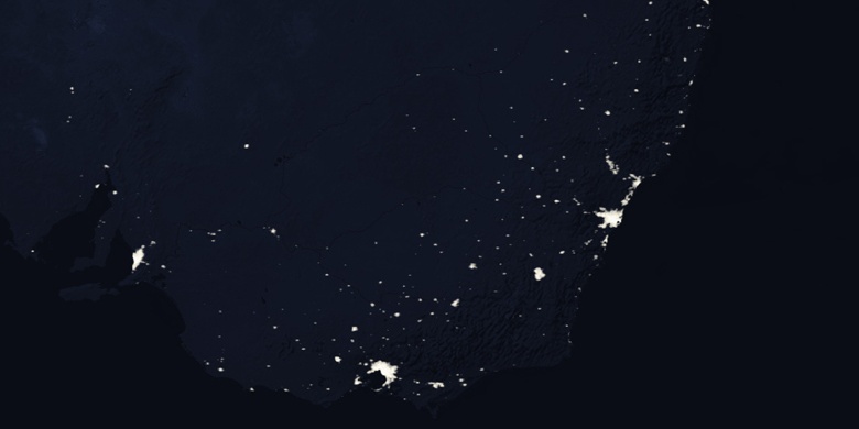
Brighton-Le-Sands sulla mappa di notte