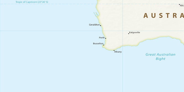
Alexander Heights sulla mappa
Alexander Heights (Western Australia) , Australia sulla mappa.
Coordinate GPS: 31° 49' 39.3" Sud,
115° 51' 54" Oriente.
» Fuso orario, » La mappa politica, » mappa naturale,
» Alexander Heights sulla mappa di notte & » Google Map.
 Tempo
TempoAlexander Heights sulla Mappa del fuso orario:
Fuso orario: GMT+08:00 = AWST


Australia, Alexander Heights La mappa politica

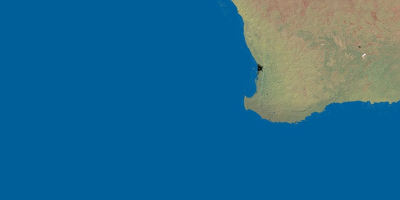
mappa naturale
Latitudine Longitudine: -31.82758, 115.86501

Alexander Heights
Alexander Heights sulla mappa di notte